
Description
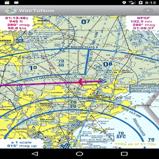
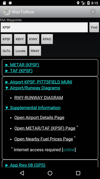
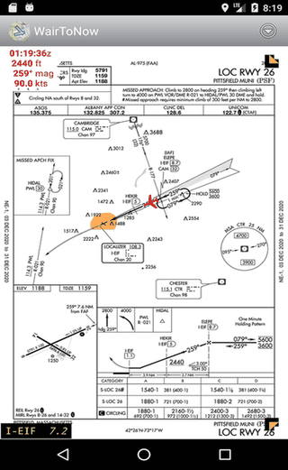
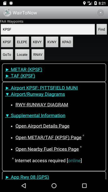
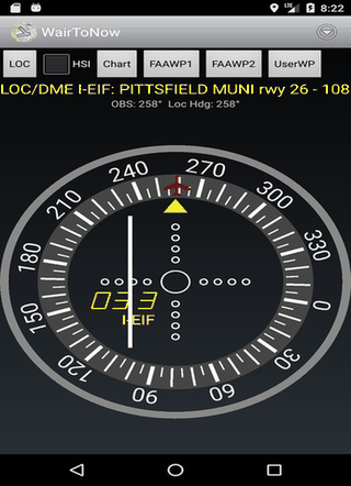
This free app gives pilots geo-referenced airport diagrams, approach plates, and US charts like sectionals. It also includes OpenStreetMap for nearby navigation, runway diagrams, and customizable DME displays. All charts are open-source and available on GitHub.
Screenshots
Click to view full size
Click to view full size
Click to view full size
Click to view full size
Click to view full size
Click to view full size