
GeoNetwork
Publish geospatial data for broad access
Description
GeoNetwork facilitates the publication and broad accessibility of geospatial data through its open-source framework. Ideal for urban management, research, and conservation groups, it allows users to upload and share metadata for diverse geographic datasets, including GIS and remote sensing files. The platform includes robust search capabilities, making it simple for others to find and utilize this data. By democratizing access to spatial information, GeoNetwork encourages collaboration and innovation, supporting everything from public services to academic studies.
Screenshots
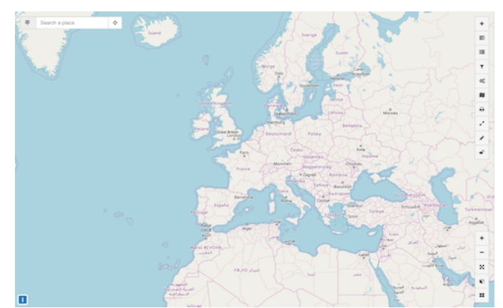
Click to view full size