
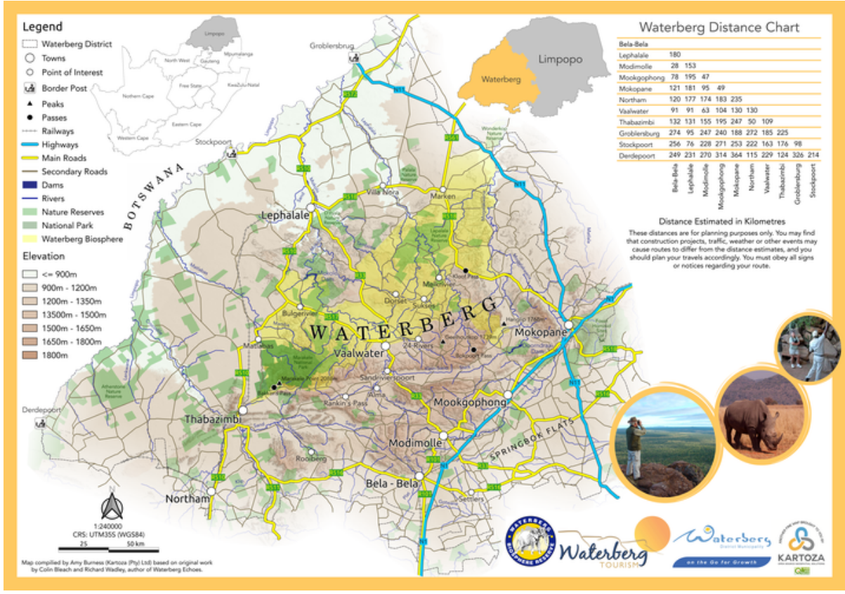
Quantum GIS
Edit and enhance maps with professional tools
Description
Utilize Quantum GIS to edit and refine existing maps or develop new ones using its professional-grade geographic information system tools. The software includes features for digitizing features, adjusting symbology, and performing spatial analyses like buffering and overlay operations. It supports real-time data collaboration and integrates with other GIS platforms, ensuring flexibility and interoperability. With its robust performance and cross-platform compatibility, Quantum GIS is an ideal choice for cartographers, planners, and analysts seeking to produce high-quality, data-driven maps for decision-making and presentation.
Screenshots
Click to view full size