
Panoply
Analyze geo-gridded data via raster plots
Description
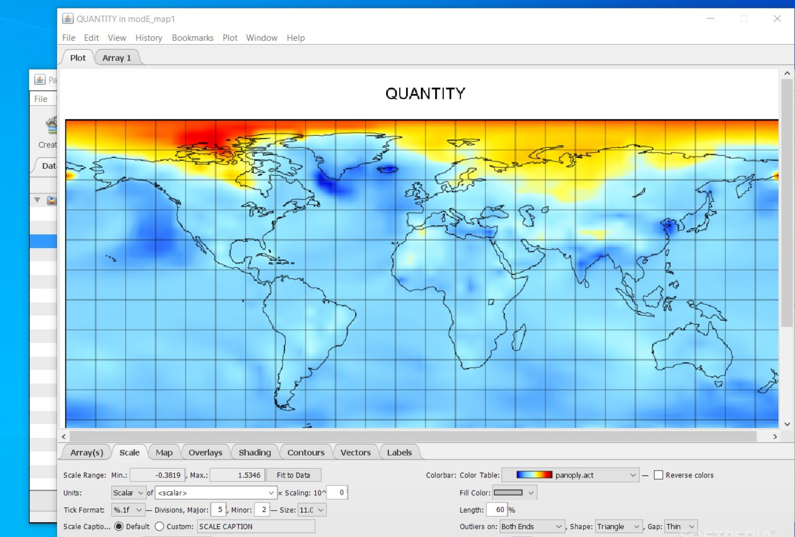
Panoply is a free application from NASA that enables the analysis of geo-gridded data through raster image plotting. Supporting formats such as netCDF, HDF, and GRIB, it helps users transform raw array data into visual insights. Ideal for environmental monitoring, research, and education, the tool includes features for data slicing, scaling, and annotation. By providing straightforward visualization capabilities, Panoply bridges the gap between data collection and understanding, fostering better decision-making and discovery.
Screenshots
Click to view full size