
GeoServer
Analyze spatial data and build interactive maps
Description
With GeoServer, users can perform in-depth spatial analysis and construct dynamic, interactive maps from diverse geospatial sources. This server is engineered for clarity and precision, supporting advanced data processing on Mac and Linux systems. It allows for real-time data updates and styling, making it simple to customize map appearances and share findings. From disaster response to market analysis, GeoServer helps uncover patterns and trends, turning complex data into actionable insights through intuitive visualization tools.
Screenshots
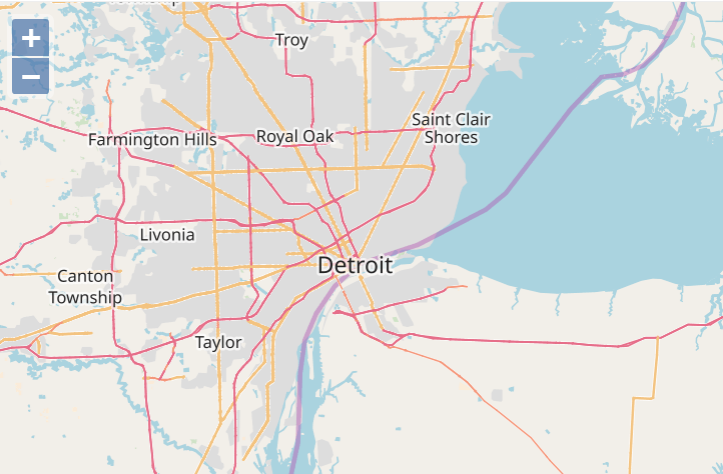
Click to view full size