
GeoRefImg
Support for many image formats in AutoCAD
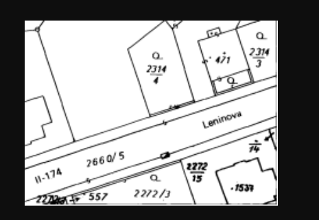
Description
GeoRefImg breaks down compatibility barriers by offering extensive file format support for georeferencing in AutoCAD. Whether your source is a GeoTIFF, a BMP, or a PDF, you can import it and establish its correct geographical position and scale. The core function is to anchor these raster images with custom coordinates and dimensions, making them useful spatial references. This flexibility is vital for professionals who aggregate data from multiple sources, ensuring all visual information aligns correctly in a single, coordinated AutoCAD drawing for analysis and presentation.
Screenshots
Click to view full size