
Java Graticule 3D
Streamlined interface for geodetic transformations
Description
Experience effortless geodetic computations with Java Graticule 3D's optimized interface designed for efficiency and ease of use. This specialized software simplifies complex calculations and coordinate transformations while maintaining professional-grade accuracy. Available for both Mac and Linux systems, it includes powerful 3D earth visualization and map rendering features that bring geographic data to life. Perfect for surveyors, cartographers, and GIS professionals who require reliable tools for network estimation and spatial analysis in their daily work.
Screenshots
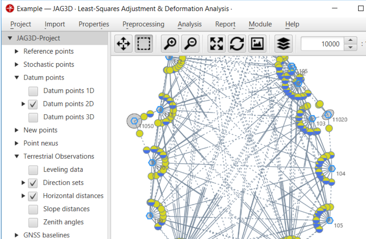
Click to view full size