
HEC-RAS
Engineer channels with data management and mapping
Description
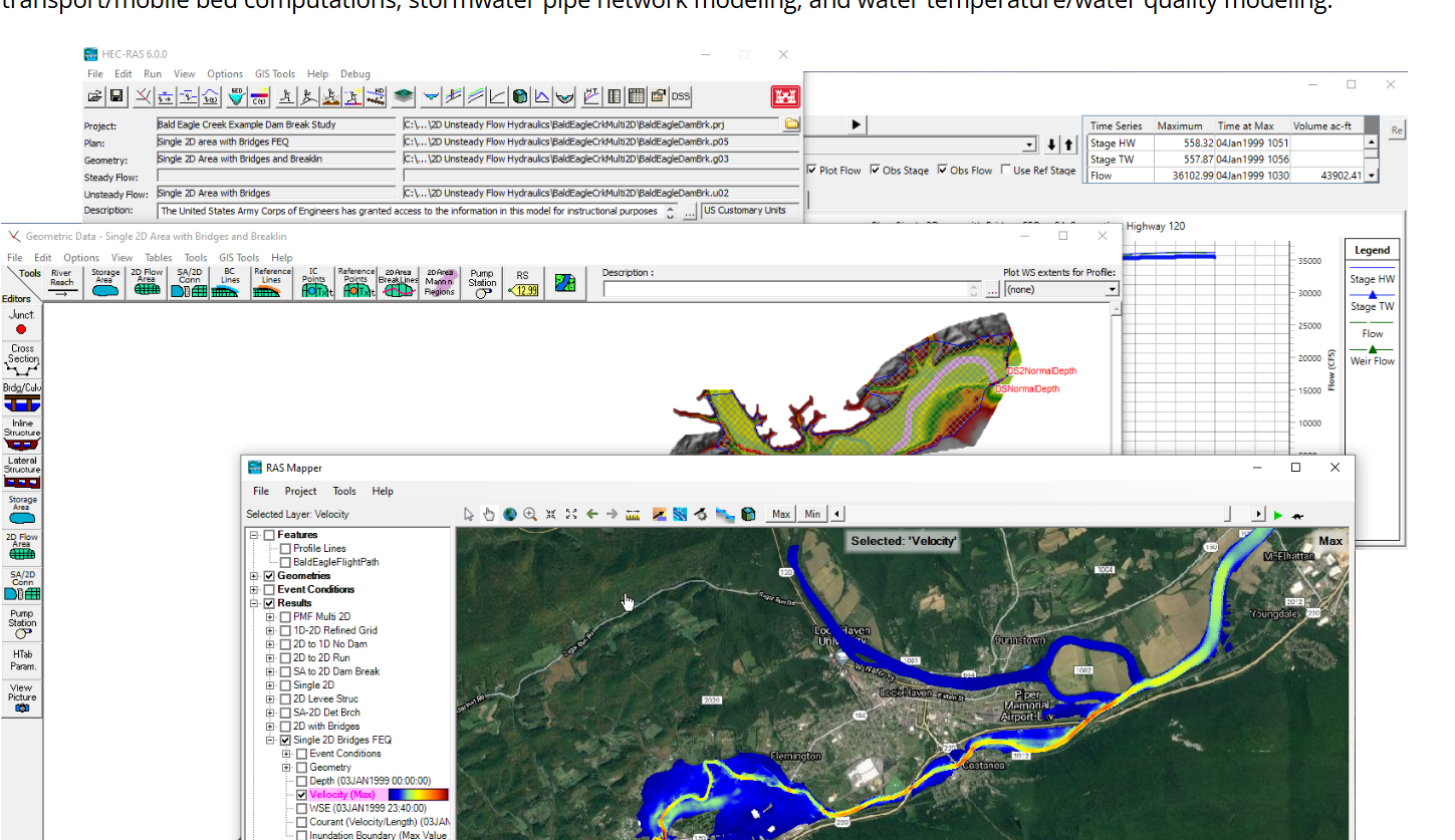
HEC-RAS provides engineers with specialized tools for designing and analyzing constructed channels through one-dimensional hydraulic calculations. The software organizes projects with systematic data storage and management features, ensuring information remains accessible and well-structured. Its analytical outputs are communicated through clear graphs and detailed reports. The RAS Mapper component adds spatial mapping capabilities, allowing users to visualize geometry and results in geographic context. This combination of computational analysis, data organization, and visualization supports informed decision-making for channel design, flood control structures, and water resource planning.
Screenshots
Click to view full size